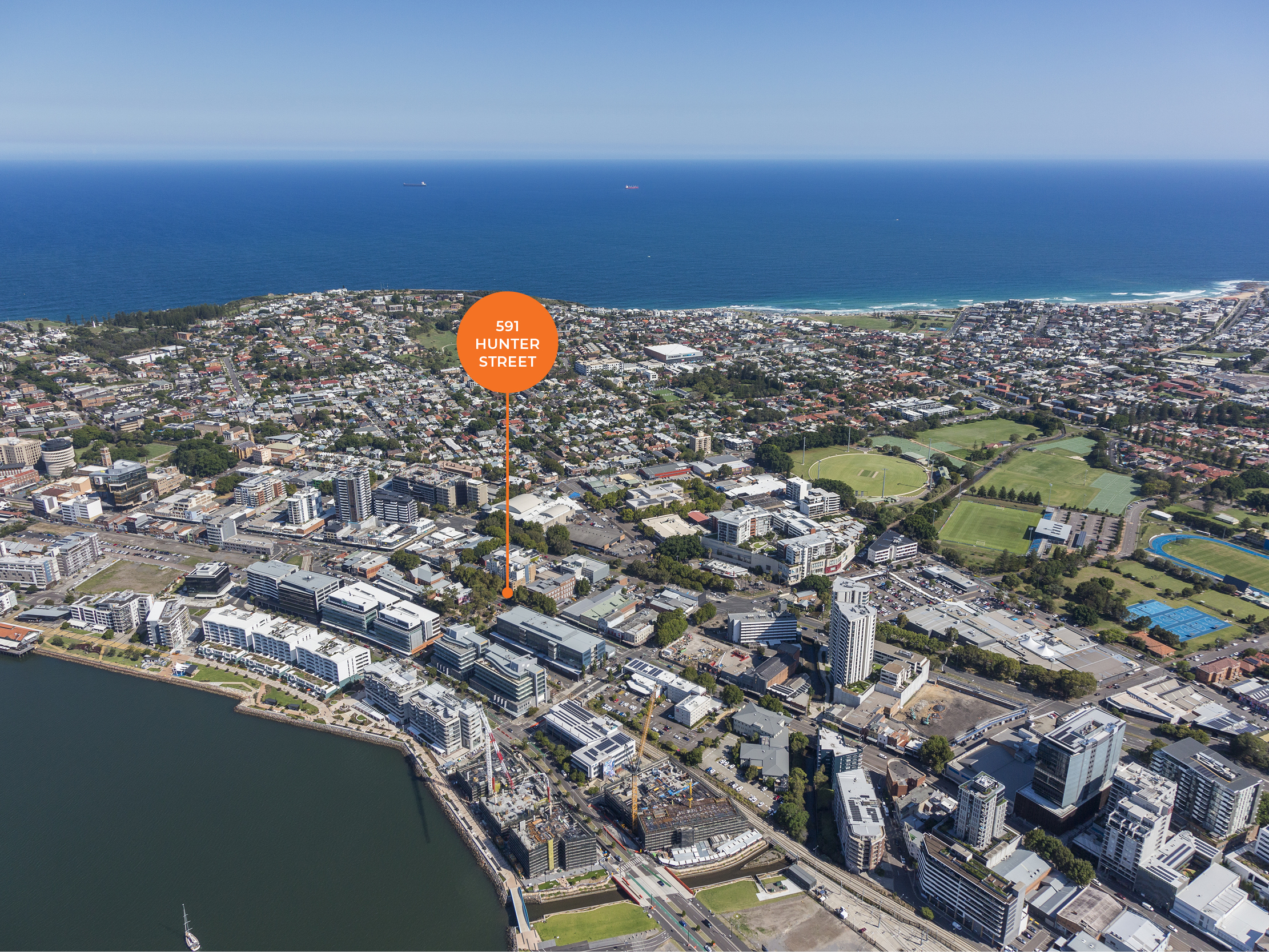
Newcastle’s ocean baths’ missing map
With the reopening of the newly renovated Newcastle Ocean baths in December 2023, the popularity of the baths has once again soared. At over 100 years’ old, there is no question that the baths have a vast history beneath their waters.
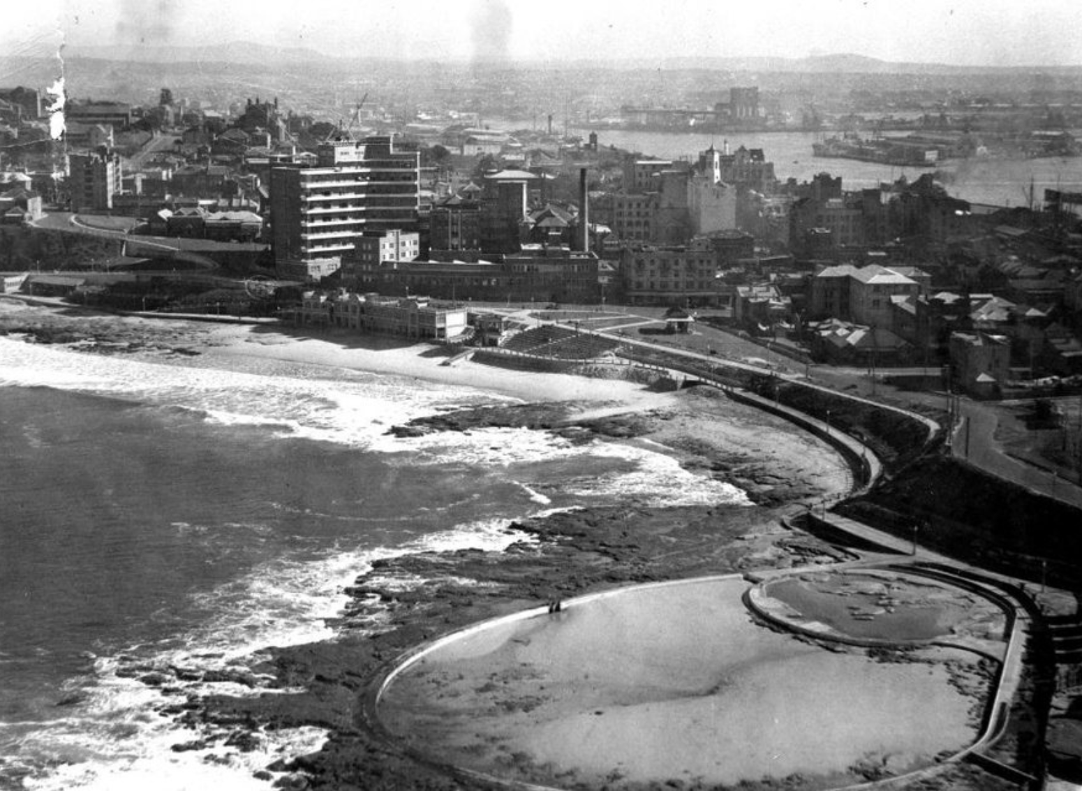
Construction began on the Ocean Baths in 1911 using state of the art electric drilling machinery and cranes however storms in 1912 caused damage to what was constructed and prompted a design change to help accommodate for the extreme weather of the location. The baths were opened in 1913 to the public despite the basin itself not being fully completed and only having temporary dressing sheds available.
The original pavilion commenced construction in 1922 alongside the permanent concrete structures. The steps on the side of the baths served not only as seating but also as protection from damage from high seas.
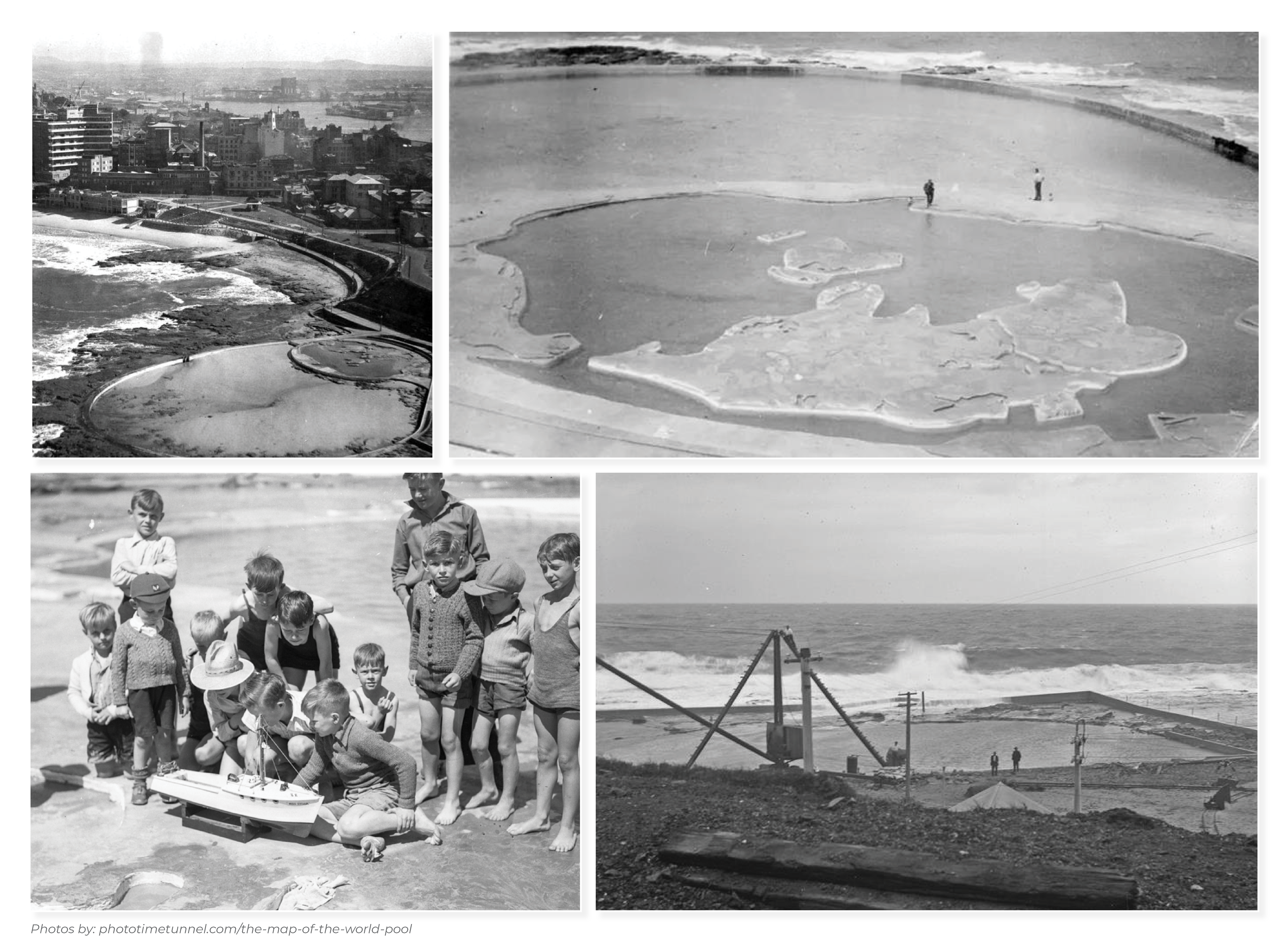
When the Canoe pool which sits alongside the ocean baths, was first constructed many referred to it as the map pool due to the world map constructed at its centre. The map was coloured red for Commonwealth countries and green for all others.
Over the years the upkeep lapsed due to ongoing costs and resources and the sand eroded the map, leaving many to question whether the map’s existence was ever actually real. Despite the missing map, the pool remains popular with young families today. Although it has seen a few upgrades since its earlier days to help maintain its cleanliness.